Photogrammetry Service
“Experience the most scrupulous and high-quality photogrammetry services with Wonder Geo”
Wonder Geo is a leading mapping consulting company that provides meticulous photogrammetry services using spatial technology and Geographic Information Systems (GIS). With vast experience and proficient knowledge, we aim at the successful planning and execution of various photogrammetric projects. Our skilled and trained team of industry experts can assist you by providing advanced and valuable solutions that are also economical.
Our photogrammetric services serve to various industries like mining, transportation, archaeology, land administration, etc. We are equipped with sophisticated software, technology, experience and skill to cater to the needs of various customers.
Our team of experienced and certified professionals is committed to providing superior solutions and innovative services in the promised time. Apart from this, we, at Wonder Geo, ensure accuracy and cost-effectiveness in the execution of the services.
Benefits of Outsourcing Photogrammetric Services to Wonder Geo
- Our specialists ensure the maintenance of industry standards and are experts in using advanced technology to provide high-quality photogrammetric services.
- We help in providing high definition topographic maps, which can be used to enhance your project in an effective manner.
- Wonder Geo can ensure quick and effective completion of projects as our team of experts is highly experienced in 3-D modeling and constructing planimetric maps.
- The size of photogrammetric projects does not matter to Wonder Geo, because our experienced members are capable of handling large-scale projects.
- Our services and products are of high quality as they go through the filter of multiple quality checks and procedures.
What we do:
- Aerial Triangulation
- Stereo Mapping
- Digital Terrain Modeling (DTM)
- Orthophoto Production
Photogrammetric Services Offered by Our Experts:
- Aerial photogrammetric services
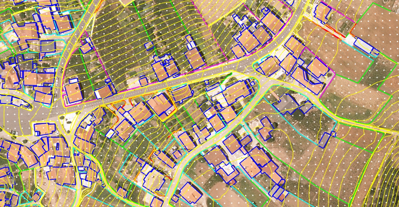
- Planimetric mapping services of railways, roads, buildings, etc.
- Corridor mapping of highways
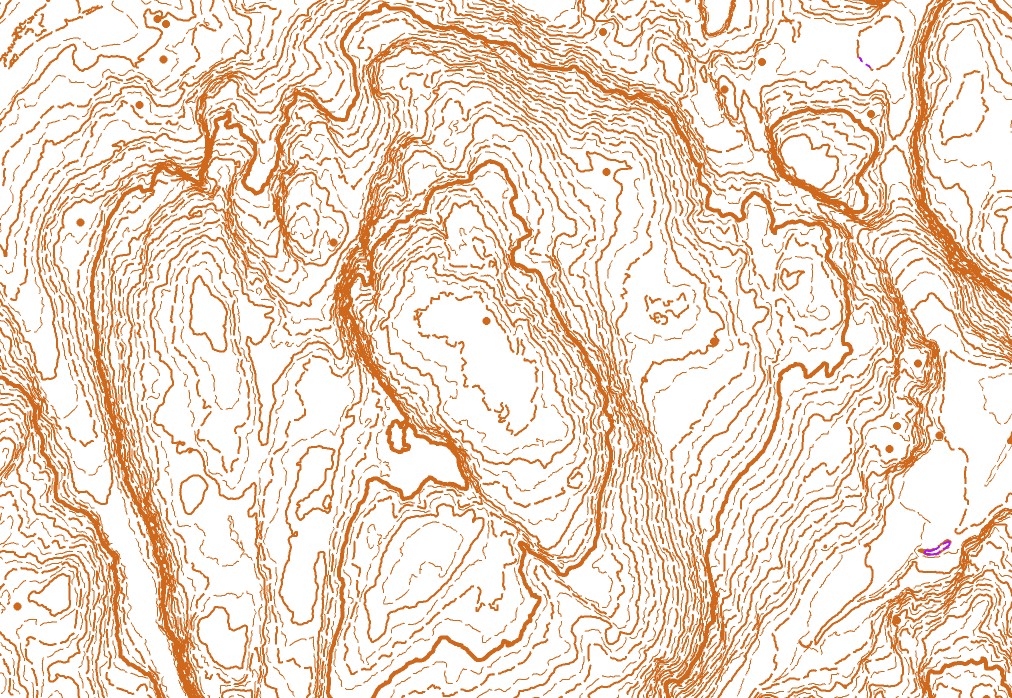
- Production of orthophotos and contour generation for topographic maps using DEM (Digital Elevation Model).
- Creation of digital topographic maps.
- Construction of digital terrain models and digital surface models using DEM.
- Texturing 3 D objects.
- Producing iSAT images.
- Producing highly defined contour mapping.
- 3D collection and production of orthophotos.